SAA 2024 Elizabeth Haire

Elizabeth Haire Map References SAA Poster 2024

Anville, Jean Baptiste Bourguignon d’.

1752    Carte de la Louisiane par le Sr. d’Anville. Library of Congress. Paris. Carte de la Louisiane par le Sr. d’Anville. – Copy 1 Recto | Library of Congress (loc.gov)

Bellin, Jacques Nicolas

1703    Carte du Mexique et de la Florida. Library of Congress. Paris. Carte du Mexique et de la Floride | Library of Congress (loc.gov)

Bowne, Emanuel

1752    A new & accurate map of Louisiana, with part of Florida and Canada, and the adjacent countries. Library of Congress. London. A new & accurate map of Louisiana, with part of Florida and Canada, and the adjacent countries. | Library of Congress (loc.gov)

Bradford, Thomas

1835    Louisiana and part of Arkansas. Louisiana Digital Map Library. Boston. Louisiana Historical Maps (usgwarchives.net)

Burr, David H. and John Arrowsmith

1839    Map of Mississippi, Louisiana & Arkansas exhibiting the post offices, post roads, canals, rail roads, &c. Library of Congress. London. Map of Mississippi, Louisiana & Arkansas exhibiting the post offices, post roads, canals, rail roads, &c. – Copy 1 | Library of Congress (loc.gov)

Chatelain, Henri

1719    Carte de la Nouvelle France des Grandes Rivieres de S. Laurens and de Mississippi, ca. 1719. Digital Maine Repository. https://digitalmaine.com/arc_baxter/13/

du Pratz, Le Page

1758    Carte de la Louisiane colonie française avec le cours du Fleuve St. Louis, les rivières adjacentes, les nations des naturels, les etablissems. français et les mines. Library of Congress. Paris. Carte de la Louisiane colonie française avec le cours du Fleuve St. Louis, les rivières adjacentes, les nations des naturels, les etablissems. français et les mines. | Library of Congress (loc.gov)

Fielding, Lucas

1823    Louisiana. Birmingham Public Library Digital Collections. Louisiana. – Maps Project – Birmingham Public Library Digital Collections (oclc.org)

Gallatin, Albert

1836    Map of the Indian tribes of North America, about 1600 A.D. along the Atlantic, & about 1800 A.D. westwardly. Library of Congress. The Society, Washington D.C. Map of the Indian tribes of North America, about 1600 A.D. along the Atlantic, & about 1800 A.D. westwardly – Copy 1 | Library of Congress (loc.gov)

Homann, Johann Baptist

1763    Amplissima regionis Mississipi seu provinciæ Ludovicianæ â R.P. Ludovico Hennepin Francisc Miss. in America septentrionali anno 1687 detectæ, nunc Gallorum coloniis et actionum negotiis toto orbe celeberrimæ. Library of Congress. Norimbergae. Amplissima regionis Mississipi seu provinciæ Ludovicianæ â R.P. Ludovico Hennepin Francisc Miss. in America septentrionali anno 1687 detectæ, nunc Gallorum coloniis et actionum negotiis toto orbe celeberrimæ. | Library of Congress (loc.gov)

J.H. Colton & Co.

1854    Louisiana. Birmingham Public Library Digital Collections. Louisiana – Maps Project – Birmingham Public Library Digital Collections (oclc.org)

Lafon, Barthelemy and Charles Picquet

1806    Carte générale du territoire d’Orléans comprenant aussi la Floride Occidentale et une portion du territoire du Mississipi. Library of Congress. Paris. Carte générale du territoire d’Orléans comprenant aussi la Floride Occidentale et une portion du territoire du Mississipi | Library of Congress (loc.gov)

L’Isle, Guillaume

1718    Carte de la Louisiane et du cours du Mississipi [i.e. Mississippi]: dressée sur un grand nombre de mémoires entrautres sur ceux de Mr. le Maire. Library of Congress. Chez l’auteur le Sr. Delisle sur le quay de l’horloge avec privilege du roy, Paris. Carte de la Louisiane et du cours du Mississippi … | Library of Congress (loc.gov)

López de Vargas Machuca, Tomás et al.

1762    La Luisiana cedida al Rei N. S. por S. M. Christianisima, con la Nueva Orleans, è isla en que se halla esta ciudad. Construida sobre el mapa de Mr. d’Anville. Library of Congress. Madrid. La Luisiana cedida al Rei N. S. por S. M. Christianisima, con la Nueva Orleans, è isla en que se halla esta ciudad. Construida sobre el mapa de Mr. d’Anville. – Copy 1 | Library of Congress (loc.gov)

Mandeville, Antoine Philippe de Marigny de

1743    Carte particulière d’une partie de la Louisianne ou les fleuve et rivierres [i.e. rivières] onts etés relevé a l’estime & les routtes [i.e. routes] par terre relevé & mesurées aux pas, par les Srs. Broutin, de Vergés, ingénieurs & Saucier dessinateur. Library of Congress. Carte particulière d’une partie de la Louisianne ou les fleuve et rivierres [i.e. rivières] onts etés relevé a l’estime & les routtes [i.e. routes] par terre relevé & mesurées aux pas, par les Srs. Broutin, de Vergés, ingénieurs & Saucier dessinateur | Library of Congress (loc.gov)

Mitchell, John et al.

1755    A map of the British and French dominions in North America, with the roads, distances, limits, and extent of the settlements, humbly inscribed to the Right Honourable the Earl of Halifax, and the other Right Honourable the Lords Commissioners for Trade & Plantations. Library of Congress. London. A map of the British and French dominions in North America, with the roads, distances, limits, and extent of the settlements, humbly inscribed to the Right Honourable the Earl of Halifax, and the other Right Honourable the Lords Commissioners for Trade & Plantations, | Library of Congress (loc.gov)

Moll, Herman et al.

1715    This map of North America, according to ye newest and most exact observations is most humbly dedicated by your Lordship’s most humble servant Herman Moll, geographer. Library of Congress. London. This map of North America, according to ye newest and most exact observations is most humbly dedicated by your Lordship’s most humble servant Herman Moll, geographer | Library of Congress (loc.gov)

Moll, Herman

1720    A new map of the north parts of America claimed by France under ye names of Louisiana, Mississipi [i.e. Mississippi], Canada, and New France with ye adjoining territories of England and Spain : to Thomas Bromsall, esq., this map of Louisiana, Mississipi [i.e. Mississippi] & c. is most humbly dedicated, H. Moll, geographer. Library of Congress. London. A new map of the north parts of America claimed by France under ye names of Louisiana, Mississipi [i.e. Mississippi], Canada, and New France with ye adjoining territories of England and Spain : to Thomas Bromsall, esq., this map of Louisiana, Mississipi [i.e. Mississippi] & c. is most humbly dedicated, H. Moll, geographer | Library of Congress (loc.gov)

Evergreen Plantation Field School 2023

Welcome to the Evergreen Plantation Field School! Our survey is continuing again this year, back again since our first set of excavations back in 2021. This summer, we are welcoming a brand-new class of students from all over the US as part of our Institute for Field Research program. This year, Professors Jayur Mehta, Alisha Gaines, and Natalie King-Pedroso are teaching archaeology, history, and literature to six students who are taking a class for academic credit. In the morning, students participate in excavations led by Dr. Mehta and Tara Skipton, now a PhD student at UT Austin. Dr. Mehta has three other graduate students with him assisting with the project, Patrick Wojtala, Elizabeth Haire, and Erin von Scherrer. In the afternoon, students attend classes hosted by Dr. Gaines and Dr. King-Pedroso, who are also working with graduate student Jannah Mitchell.

Dr. Mehta (far left), Dr. Gaines (far right), and students in the middle.
Elizabeth Haire, Patrick Wojtala, Jayur Mehta, and Erin von Scherrer (left to right)
Twenty-two structures undisturbed in place over time, full of stories, tied to the community, and the crucible of contemporary American culture.

Back in 2021, we had a small GPR survey grid to work off of, but this year, we have a GPR map of the entire quarters area,

Ground penetrating radar map. Each white square represents a structure, occupied from roughly 1800 to 1944. Image by Erin von Scherrer.

So this year, our plan is to systematically test a variety of different GPR anomalies to try and differentiate anomaly types and what they represent below the ground surface.

For example, in the image below, I identified a variety of different GPR anomalies just north of Cabin 1. Each of these anomalies is approximately 90 cm below the ground surface according to the GPR. What could they represent?

Testing anomalies involves training students…

and we find cool stuff!

Not quite sure what our anomaly might be, but we found an incredible and intact mold-blown glass bottle that dates as early as the 1830s.

We are still excavating GPR anomalies 6-9, but in the process, we have discovered some amazing artifacts… What might this bottle have been used for?

Some GPR anomalies that are bright red in their reflection can be more straightforward, like the anomaly below. We tested this anomaly by placing 1×1 meter unit over the bright red, yellow, and green reflection.

GPR Anomaly 4 looked quite promising on the radar, and it did not disappoint, turning out to be an intact brick footing of some kind, perhaps to support a cistern or maybe to hold up a larger front porch at one point in time? While we are not quite sure what we have, and we are still in the process of discovery, it is quite exciting to see something like this and to know that our GPR is doing a good job of finding buried features.

So we are still heavily involved in the process of figuring out anomalies and mapping out portions of the site’s subsurface. In the process, however, we are discovering an amazing quantity of material culture, and the students are learning about the incredible histories and cultures of Louisiana.

Back in 2021, we started investigating an anomaly that we determined to be the base of a chimney, which may have been the center of a structure just like the other 22 slave quarters at Evergreen. This structure is not identified in any of the old maps we have for the region, so its unclear to us when it was built. Based on the archeology, the bricks, the lime mortar, and the artifacts, its most likely the building, what we’re calling Structure 23, was made after 1880. We are still working on figuring out how big the potential church building may have been and discovering more about the people and community who lived in these quarters.

Base of the double sided chimney we found in 2021, associated with Structure 23, the potential church.

On the weekends, students take field trips to better contextualize the lives of folks living at Evergreen and within the entire region. Field trips have included the River Road African American Museum, the Ernest Gaines archive in Lafayette, and the LSU Rural Life Museum.

We also took the time to go get some snowballs at Hansens!

One of our more amazing brick features, what does it all mean?
Good morning from Evergreen…

Also, while this project is the product of numerous individuals, it wouldn’t have been possible without financial and logistical support from the following groups and individuals –

The Institute for Field Research – https://ifrglobal.org/

Steven and Michelle Fisk @ Evergreen Plantation

Jane Boddie @ Evergreen Plantation

The Descendants Project (Jo and Joy Banner) – https://www.thedescendantsproject.com/

The New Orleans Center for the Gulf South – https://liberalarts.tulane.edu/programs/nocgs

The students who chose to join us this summer, thank you!

My first excavations, Summer Ventures, East Carolina University

I took a trip down memory lane today and found these gems hiding in my desk drawer at home…

I was lucky enough to find these old pictures of me and some students from the excavations at Fort Neoheroka; the program was led by John Byrd who at East Carolina University at the time. The excavations were part of a summer program for high schoolers and it was absolutely the moment I got hooked on archaeology. I was 16 at the time and I don’t think I could have been happier….

Weeks 2, 3, and 4 of the Evergreen Plantation Archaeological Survey

So, a few weeks ago, I set up my project and the work I planned to do at Evergreen Plantation. To summarize briefly, we were looking for buried architecture near the slave quarters. We started with GPR survey, led by Bryan Haley, and the image below shows our old GPR survey grid and the anomalies that me and my team excavated this summer.

We decided to place a GPR survey grid north of Cabin 1 because that is where several descendants have described the location of the church used by free people of color who lived at Evergreen. In our GPR grid, we identified several anomalies worthy of investigation (GPR 1-3). Ideally, in world with limitless volunteers, time, and money, we would have excavated more anomalies, but we only had time to excavate 3 anomalies, and that was just barely.

GPR Survey Grid from 2020

GPR Anomaly 1

Actual Excavation Image of GPR Anomaly 1

Test Unit 1 Bottom of Level 2

Anomaly 1 actually only turned out to be brick rubble and a lot of metal, ceramic, and glass artifacts. We did not find any intact architecture here but this was an exciting unit because of the artifacts. Unfortunately, our analyses are ongoing, so I don’t have terribly many artifact pics to post up yet.

GPR Anomaly 2

This anomaly looked interesting because of the parallel “blobs”, so I decided to excavate a 1×1 meter unit over it.

We placed the unit right over the anomaly, a difficult task in its own right, and low and behold (!) we found intact bricks laid in courses just under the ground surface. At this point, we had no idea what we’d found, but it was fascinating and cool!

TU 2 Bottom of Level 1
Tara Skipton describing the color of bricks and sediment in our test units.

As we continued to excavate and open test units near this anomaly, it was clear we had found something intact and preserved, but it wasn’t clear exactly what we’d found. In level 1, we were finding whiteware, lavender glass, pipe stems, and lots of nails (wire/square, kinda hard to tell until we get them analyzed).

Bo Wynn, excellent volunteer, and me, “supervising” work in progress by Gloria
Crawfish making themselves at home while we work…
The mornings at Evergreen were always spectacular!
Makenna Chandler and Chloe King-Pedroso hard at work, trying to figure out GPR anomaly 2.
Well, its kinda starting to look like something….

As were excavating, it became clear that we had an intact archaeological feature, but it took some time to full expose the feature. Even then, once we could see the full extent of the bricks, it wasn’t clear to me what we had found.

Test Units 2 through 9 excavated down to the top of level 2
Test Units 2 through 10 full open, some of level 2 removed in one unit

Once we had this totally exposed, it took some talking through with colleagues and walking around the property to arrive at a eureka moment. What is it?

THE BASE OF A CHIMNEY!

Once we looked around in the other existing slave quarters, it became apparent that we were looking a the base of a chimney, that had 2 fireboxes and that was likely in the center of a building. Based on chimneys in other quarters, we should see a base that is open at the bottom like we found in our test units. I initially thought this was a chimney built on the ground, for a building that was constructed on the ground as well. This would be super odd for Louisiana, where most buildings are constructed on piers, sills, posts, or raised off the ground in some way. But after looking at the existing structures and the ways in which the chimneys were constructed, I think the building we found was also built up on piers. We did not have the opportunity to expand our test units broadly enough to find other piers or footings associated with this new structure. But the image below shows the hypothetical outlines of a building based on the size of other slave quarters at Evergreen and the location of the chimney base we found

Hypothetical structure outline based on location of chimney base, excavation unit, and dimensions of existing structures

Now…. there is something really fascinating to talk about in regards to this new building, but I’m going to leave that to another post…

GPR Anomaly 3

GPR Anomaly 3

This was the last anomaly that we were able to investigate.

GPR Anomaly 3, actual excavation image.

This was another fortunate and amazing find, but unfortunately, we’re not really quite sure what it is. The bricks are fairly soft and old and they’re held together by lime mortar, but we don’t quite know how far these bricks extend out and how deep they go (if they’re footings or something like that.

Mapping in brick features

At any rate, I’m super late in getting some of this stuff posted, and I have so much more to write about this summer, my collaborators, our findings, and what it all means, but for now, this is all…

Week 1 for the Evergreen Plantation Archaeological Survey (EPAS)

Welcome to the Evergreen Plantation Archaeological Survey (EPAS) project page! 

Hey all! Finally, I’m back to writing about archaeology and fieldwork.  If you know me, you’ll know that I love being in the field and doing archaeology, especially with students and especially when it comes to cool sites!

In 2018, I started the Evergreen Plantation Archaeological Survey (EPAS), which is an archaeological and historical study of slavery and plantation life. This is a new venture for me and one that is a pretty big pivot for me, especially if you know my previous work on Indigenous monumental sites in the Lower South and how climate change threatens Indigenous histories along the Gulf Coast.  But after visiting this site and learning more about the history of this place, I believe its important to do this work now, if for no other reason, than to create teaching, research, and learning opportunities for descendants, community members, and young archaeologists to be.

There can no doubt that archaeology is needed to understand more about how enslaved Africans, free-people-of-color, Creoles, and the planter class all interacted along Louisiana’s German Coast, the main locus of sugar and indigo production for the entire region. Towards this end, the goals of my project are to investigate the following contexts: 1) a potential religious building/church used by the enslaved and 2) residential buildings used by the enslaved. We began this summer with a ground penetrating radar (GPR) survey, and will continue this survey throughout the month of June, while also conducting subsurface testing and excavation.

Research and excavations funded by this LEH Grant (https://www.leh.org/) will add to our already complex and layered understandings of the kinds of activities that took place at Evergreen Plantation (www.evergreenplantation.org). In particular, I hope to find a building that may have been a church, and that numerous community members describe as an important part of their ancestral memory and past.

For some excellent and exciting documentary research compiled by Evergreen site historian Katy Shannon, follow the links below…

Slavery Database – https://www.evergreenplantation.org/slavery-database

Ancestor Project – https://www.evergreenplantation.org/ned-edwards

Week 1

There is one particular location near the slave quarters where oral traditions suggest there used to be a church. Consequently, we’re conducting survey and excavations near the location of the possible church, as well as conducting a GPR survey of the entire landscape surrounding the slave quarters.

We have an approximately 4.34 hectare area to survey using ground penetrating radar (GPR), which is being conducted by Bryan Haley, a doctoral candidate at Tulane University, and geophysical survey specialist at Coastal Environments, Inc.  This comprehensive GPR survey will lead to a complete map of subsurface features without actually causing any disruption to the surface and surrounding vegetation. With a comprehensive GPR survey, we’ll be able to better define activities across the site and to identify locations for possible future excavations.

Evergreen Plantation Survey Area, 4.54 Hectares
GPR survey data by Bryan Haley, Cartography by Tara Skipton

Since we are archaeologists, and since we still need to excavate, we started shovel testing and unit excavation in week 1.  There are two fields that I’m interested in, each about .6 hectares in size. These two fields are located north of two rows of identically sized and spaced quarters that were used by the enslaved and the free at Evergreen. According to oral history, one of the fields contained a church that was used after the Civil War and into the 20th century by individuals who still lived in the quarters area at Evergreen. 

Unfortunately, the published map of the property made in 1880 by the Mississippi River hydrographic survey team did not note the location of the church in their map (if it existed at that time). The map does show the sugar mill and 22 associated slave quarters, 11 on both sides of a road.

However, there is some hope, because the field notes that were made by river surveyors contained detailed notes about the landscape and plantations in the area.  As they arrived at a plantation, they would map all of the landscape features and buildings, including those near the quarters of the formerly enslaved. A friend sent me an image of the surveyors notes from an “Evergreen” plantation, but unfortunately, it’s the wrong Evergreen…  So, now I need scans from the National Archives, which is still closed due to covid.

So, this project is a first step in a multi-year and multi-disciplinary investigation into the lives of enslaved and free individuals who lived at Evergreen Plantation.  For this season, our project findings will provide data on the location of a possible church, as well as the nature of archaeological deposits north of the quarters area, and a comprehensive GPR map of the quarters area. If we have time and if tropical storms and depressions don’t hold us back too much, we’ll have some archaeological evidence from contexts in and around the quarters as well. 

I want to thank the Louisiana Endowment for the Humanities for their support, as well as the owners, directors, and property managers at Evergreen Plantation, without which none of this work would be possible. Evergreen Plantation (https://www.evergreenplantation.org/) is privately owned and maintained and it is not open for tourism – the property exists solely as a hub for education, research, and teaching.

Week 1 Crew Members

Tara Skipton, who just finished her MA in archaeology at FSU, and is soon moving on to her PhD at UT Austin.
Makenna Chandler is working on her MA at FSU and will be studying plantation cemeteries in the St John the Baptist area.
Gloria Church will start at UL Lafayette in the Fall and is looking forward to more anthropology classes!
Bryan is a geophysical survey specialist, and a wizard at geospatial analysis.  

AMA

What do you want to know about this project?  What questions do you have?  Advice? Support?  Let me know and post it here, and I will post a video response up next week.

Jayur Mehta

Jayur Mehta,  family dude…

A little bit about me,  I’m an assistant professor at Florida State University, and I teach in the anthropology department. I’m interested in many different topics, including the material culture of diasporas, which is what ties my previous research to Evergreen. I’m currently accepting graduate students for my Evergreen project, and there should be some research opportunities for undergrads in summer 2022.

“This program is funded under a grant from the Louisiana Endowment for the Humanities, the state affiliate of the National Endowment for the Humanities. Any views, findings, conclusions or recommendations expressed in this website do not necessarily represent those of the National Endowment for the Humanities.”

Keepers of the Mound

I’m excited to finally share online an amazing documentary that I was able to help with.  My colleague Katie Matthews with the New Orleans Video Access Coalition (NOVAC) produced and directed this fantastic film about a sacred Native American mound site that the Houma Nation values, cares for, and protects. I am proud to be featured in this amazing work, which includes perspectives from Chief Dardar of the Houma Nation, the Solet family, my colleague Dr. Elizabeth Chamberlain, and other coastal restoration scientists.

Great job Katie and great job everyone else!  I highly recommend setting aside 17 minutes sometime today to give this film a gander (linked below). Great images, great commentary from yours truly, and fantastic music.

Keepers of the Mound

My journey from student to archaeologist to professor

2015-04-30 15.28.26

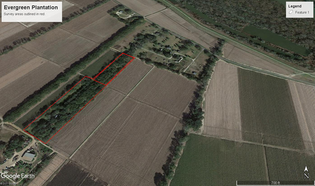
Post dissertation-defense committee and celebration (left to right, Chris Rodning, Jayur Mehta, Jason Nesbitt, Marcello Canuto)

My Own Personal Journey (to a permanent, full-time professorship)

This is a story that has a happy ending. Really! It ends with me getting a tenure-track professorship at Florida State University. So, let me not bury the lead here – I got the job I’ve been searching (dreaming) for! However, it is not a story of an easy journey and it is not a path without significant heartache and struggles.  But, I persevered, and I was committed in my goals and for me, the story (although not even remotely over), has a happy ending for now.

Why write this story? Perhaps so that many of you young and aspiring archaeologists (or historians and social scientists) might know the realities of the academic job market. I should start off, however, by stating that everyone’s story is different (so make your own path) and that all of my experiences have made me a better person (I wouldn’t have done this any other way). That being said, there were tough times along the way and there were easier life paths – which is ok – that I could have chosen. With a 4-year degree in computer science or engineering, I could have started earning close to 6 figures back in 2004.  That would have added 13 more years to my total earning potential – close to a million dollars (on top of which interest and retirement would have added so much more).  But… we don’t go into this because of the money, so let me give you an honest accounting of what it took me (and cost me), to get to where I am today.

The beginning:

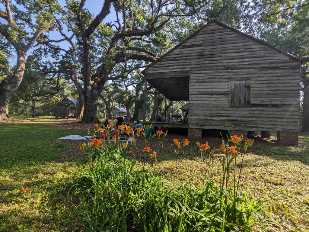
In 1998, I excavated a Tuscarora village, Fort Neoheroka, with East Carolina University during a summer camp when I was 16.  This was it!  Maybe I didn’t know that I wanted to be an archaeologist back then, but I was hooked! Working outside in the sun and dirt between my fingers, what more could I want…

In 2000, I started at UNC and graduated in 2004 – I worked for Steve Davis in the Research Labs for Archaeology almost the whole time I was there, and I left UNC with three field seasons under my belt and just as many years in the lab. I worked on historic period archaeology, mostly at Occaneechi and Catawba villages. But at that time, I wanted to study Harappan and Bronze Age archaeology in western India and so I applied to grad schools in my senior year where I could study the near east – unfortunately, I didn’t get admission anywhere (of course, I only applied to UCLA and schools like that).

CRM

From there, I worked in CRM for a year, mostly across NC and SC, and learned all kinds of interesting and practical field methods. I learned how to take a project from seed to fruit and I learned just how different academic archaeology and CRM archaeology are. I applied to graduate school again, this time only to MA programs, and I got into the University of Alabama. The MA was good for me because I didn’t know what I wanted except for more training.

Graduate School Round 1

At Alabama, I worked with Ian Brown and the Gulf Coast Survey for two years and decided to pursue a field-based MA degree. In retrospect, I don’t know if that was the best idea…  An MA should be a quick and concise study of a small topic/issue – I chose to systematically study ethnohistoric descriptions of sweatlodges in the Eastern Woodlands, develop a typology, and then test it in the field at a site in the SW Mississippi. Just the energy required to do fieldwork was more that enough to wipe me out… on top of that, I had to conduct an extensive literature review of 17th and 18th century primary sources. I got it all done in the end and I’m happy with the final product, but there were easier paths for sure.  I could have stayed at Alabama if I wanted to finish my education, as they had just started a PhD program, but I was feeling restless and wanted to go back to work, so I applied for two jobs – one at the Arkansas Archaeological Survey and another with the Mississippi Department of Archives and History, and I heard from Mississippi first, so I moved to Jackson, MS.


Mississippi SHPO’s Office

If there was any one experience that prepared me for my doctorate, it was working from the state of Mississippi as an archaeologist – I reviewed CRM reports for compliance, I curated and accessioned collections, and I did public education and outreach. I took on the role of statewide coordinator for Mississippi Archaeology Month, and from this role, developed one of my specialties as an academic and scholar – “public education and outreach”.  I used my experiences with MDAH to organize a symposium at SEAC, which ultimately resulted in me taking leadership roles in several different committees – the public archaeology grant committee with SEAC and the SAA Award for Excellence in Public Archaeology. But I knew by then I wanted to get my PhD and that I wanted to be a scholar and educator.

Graduate School Round 2

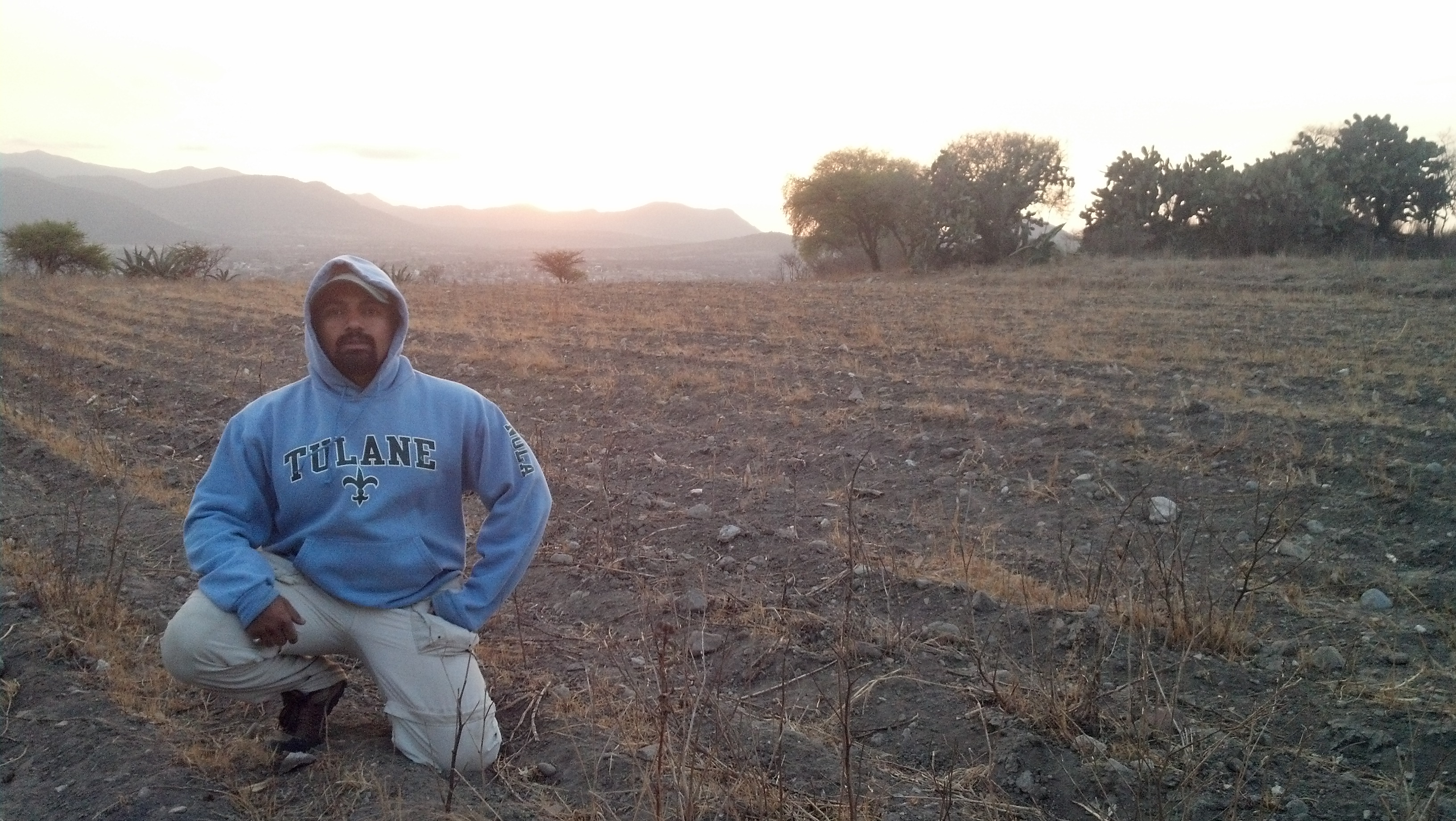
I spent two years with MDAH and at 27, decided to go back to graduate school – I applied widely and got into Santa Barbara and Tulane, and chose Tulane (and Chris Rodning as an advisor) to finish my training and get a PhD. I spent 6 years at Tulane, which is pretty short all considered, but they were 6 intense and incredibly rewarding years.  How did I get through so quickly?  First of all, I went into my PhD knowing my project – working at MDAH had exposed me to the Carson site, a massive Mississippian village, and that is where I decided to do my work. Second of all, I had the most supportive cohort of graduate school buddies.  Third, I had an amazing advisor – I couldn’t have achieved anything without Chris Rodning’s unwavering support and sage guidance.

2014-06-26 20.21.50

Chris Rodning, Jayur Mehta, and Ben Davis


What did my time at Tulane look like?

  • Year 1 at Tulane was coursework and in the summer I worked at Maya sites and at Feltus for UNC.
  • Year 2 at Tulane was coursework and in the summer I worked on grants and external fellowships (this paid off, because I was fully funded my whole 6 years there).
  • Year 3 was more coursework and comprehensive exams. Comps included learning world archaeology and all the four subfields for my region, North America.

*During years 1-3, I also focused on my music quite heavily and developed some amazing collaborations with tabla player, Alex Legge. Once classes were over, and it was time to write, the music and side projects dwindled significantly.

2012-06-01 21.31.09

Alex Legge and Jayur Mehta

2012-01-18 13.10.28

Post-comprehensive exams, cohort (left to right, Jayur Mehta, Jessica Wheeler, Erlend Johnson, Rachel Horowitz, David Chatelain)

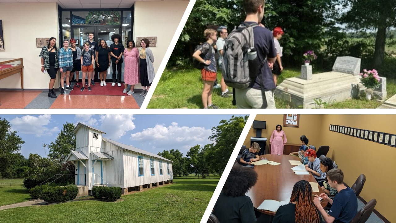
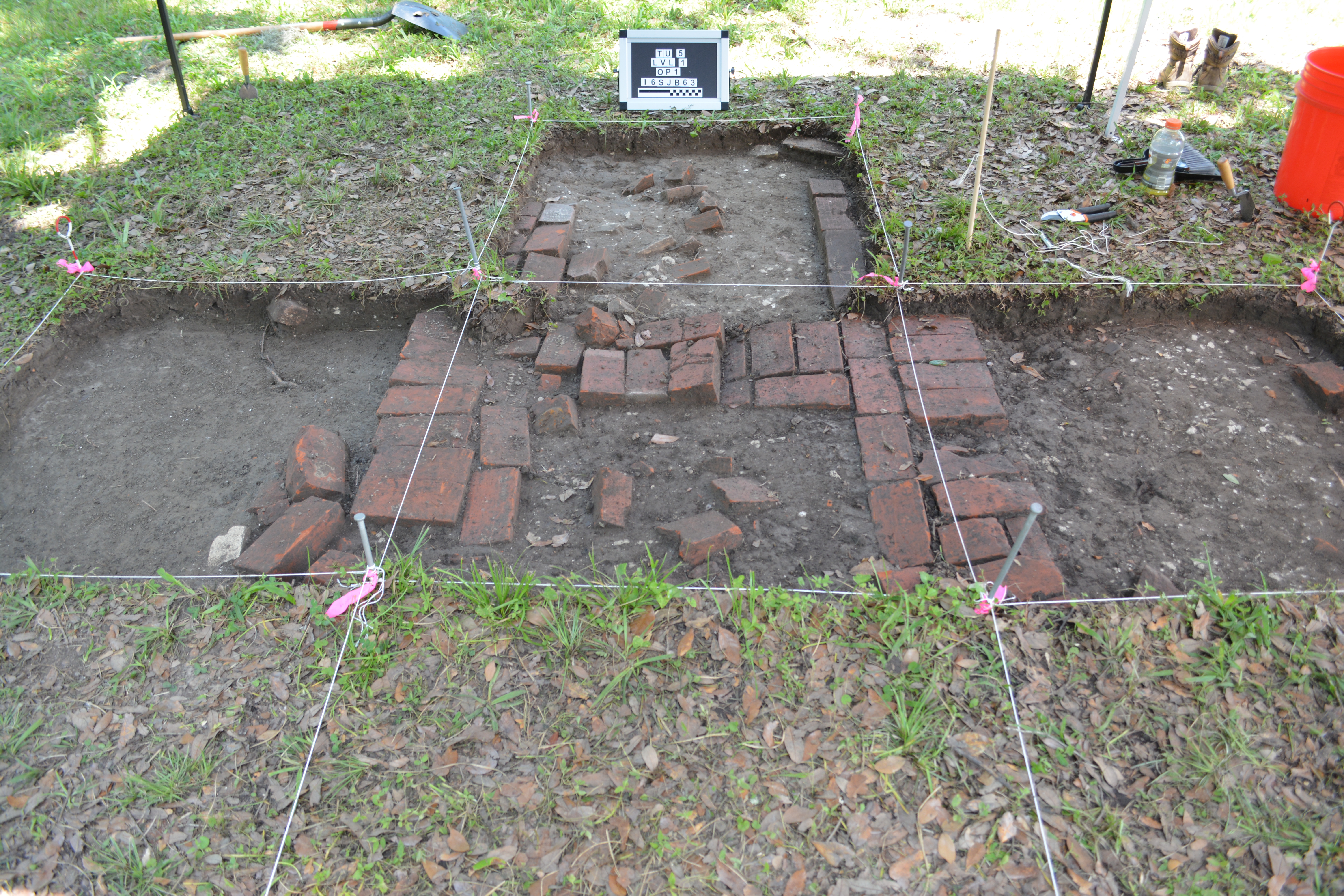
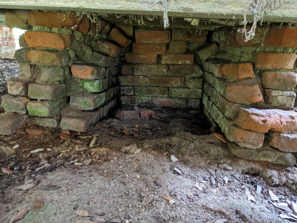
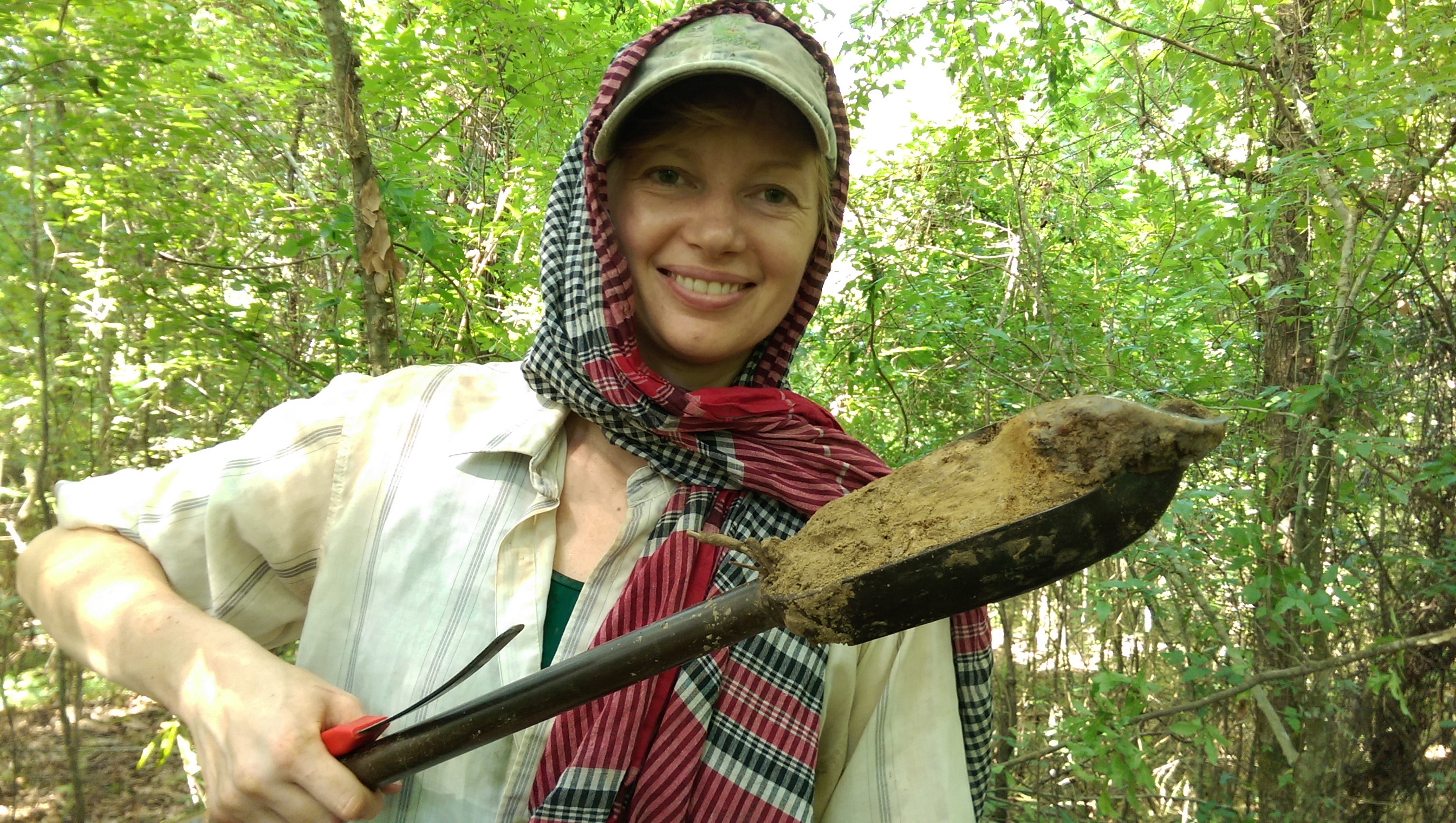
  • Years 4-6 – I was done with coursework, and successfully lobbied the Dean to create my own field school at Carson, which I ran from 2013 – 2015. I had students from NYC, Pittsburgh, Tennessee, and all over, we had tons of great fun in the field, while excavating mounds and structures at Carson. Running the field school allowed me to collect all the data I needed, while also teaching a class that I could pitch to future employers. I also taught Environmental Studies at Tulane and there I took my interests in public outreach into “service learning” and my students conducted research in my classes at Tulane.  This allowed me to develop another one of my specialties, “service learning”.

This slideshow requires JavaScript.

RANDOM PICS OF FIELDWORK AND STUDENTS


2012-11-11 15.27.04

I also met my wife (Haley Holt Mehta, center) and got married in New Orleans – her brother, Jesse, on the left.

After fieldwork, I spent a year analyzing and writing my dissertation, and I graduated in the Winter of 2015, and walked in the Spring of 2016.  So from 2009 to 2016 I was in graduate school. In the summer of 2015, I applied for and got a job at the New Orleans Center for the Creative Arts (NOCCA), an arts-based high school in New Orleans. There I taught humanities while I applied for archaeology professorships.  My time at NOCCA was incredibly rewarding and I learned that I could be a good teacher and mentor to younger students.

I also developed another project in coastal Louisiana, Resilience in the Ancient Gulf South, with a good friend, Elizabeth Chamberlain.  You need two projects, btw.

2016-06-16 10.10.34.jpg

Elizabeth Chamberlain, Postdoc Researcher (Vanderbilt)

The Job Market

My first year on the market I was ABD and had not defended – amazingly, I had one on campus interview. I flew out there full of hope and expectations, predicting fine dining, wine, and collegial banter.  What I got was a dinner at Chipotle.

I definitely did not get that job and was pretty crushed, although I should not have been surprised.  But it worked out well anyways, because I had the job at NOCCA lined up. Maybe I shouldn’t call this my first year on the market – I applied to perhaps 5 jobs at the most.

NOCCA colleagues and a 9th grade project on cave art (top left) and a 10th grade project on Eastern Agricultural Complex crops (top right)


My first year at NOCCA, I applied for jobs, and had one phone interview and one on-campus interview.  The on-campus interview went great but ultimately, the dean pulled the line, and nobody was hired.

My second year at NOCCA, I had around eight phone interviews and three on-campus interviews. None of the on-campus interviews panned out, but at the final hour, I applied for a visiting position at UIUC. At this point, after two years on the market, I was run down, and tired of writing job letters. I had no hope of getting the job and I still remember the moment I got the email telling me I was chosen for the UIUC visiting position.

What did this mean?  It meant I could be a professor, like I wanted. But only for a year but perhaps for another… It also meant uprooting my whole family, wife and son, from their lives and friends. It meant selling my house, packing my bags, and disrupting everything I had spent years building, just for a one-off chance to follow my dreams.  It meant asking my wife to quit her job (that she had spent years cultivating). It meant saying bye to all of our closest friends and it was not an easy thing to do.  It may even have been one of the hardest decisions I’ve ever had to make.

2017-08-06 17.12.55

Saying goodbye to New Orleans and to dear friends (left to right, Rachel Horowitz, Erlend Johnson, Jayur Mehta, Nicole Katin, and Kat Bell).

2016-05-22 13.19.08

Claire Starke, Sarah, Russel Wolfe, Jayur Mehta, Haley Mehta, Katharine Williams

And so we moved – family and all – to Urbana, Illinois.  And I found a warm and welcome home, full of supportive colleagues and inquisitive students. I found a support network of scholars who I could bounce ideas off of and students interested in my work as an archaeologist. My wife found work she liked but struggled early on in her newfound isolation, absent close friends and a support network. And we made new friends but you can never replace old ones. I am now in my first and only year at UIUC because as a visiting scholar, nothing is guaranteed.

2017-09-02 12.55.23

Father and Son at a Fighting Illini, University of Illinois football game

2017-08-15 11.42.09

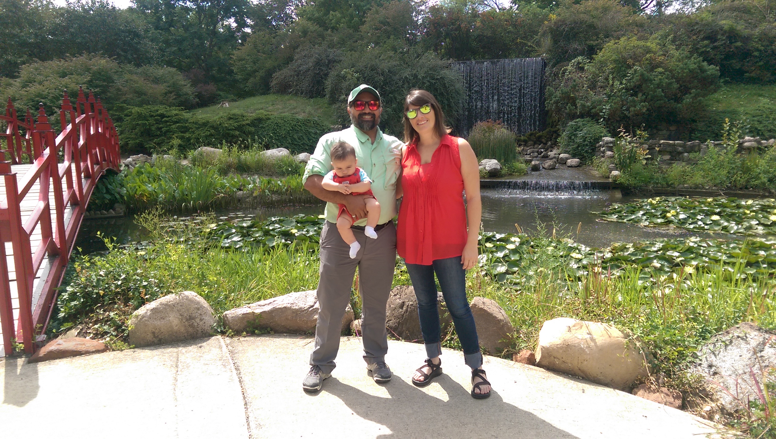
Jayur, Siddhartha, and Haley, enjoying our new surroundings in Illinois


In the Fall of 2017, I continued to apply for jobs, and this round, I had three phone interviews, and two on-campus interviews – and this year, I was offered positions at both of the schools I visited. And I chose the best one, which will be Florida State University (can’t wait to get back to the Gulf South!)

So, what does that look like in numbers?

  • Total Applications: 100
  • Phone Interviews: 10
  • On-campus: 5
  • Offers: 3

I didn’t track applications while I was ABD or during my first year at NOCCA.  But in my second year at NOCCA, I applied for 50 jobs.  While at UIUC, I applied for 27. This doesn’t include any jobs outside of academia (of which there were many).

Adding it all up, I likely applied to about 100 academic jobs overall (over 3-4 years).  Out of those applications, 10% resulted in phone interviews, and 5% resulted in on-campus interviews. And 3% resulted in job-offers.

On average, I would say that each job application (cover letters, statements of purpose, research, teaching, etc.) took me between one to two hours. That means, in total, I spent around 150 hours applying for jobs, give or take… 

The Cost of it all

Which brings me around to what this whole process cost me, which is to say, a lot. A whole hell of a lot.

  • Be prepared for the job that isn’t yours but they bring you to campus anyways
  • Be prepared for the inside candidate.
  • Be prepared to shell out hundreds or even thousands of dollars upfront on clothes, tickets, and hotels.
  • Be prepared to visit a school you love, in a town you love, to never ever hear from them again, even to tell you that you didn’t get the job.
  • Be prepared for job lines to disappear. After you’ve applied.
  • Be prepared to spend seemingly endless evenings writing job materials (and realizing that this work has almost no reward or benefit).
  • Be prepared to not fit in.

Every on-campus interview was an emotional rollercoaster, requiring time off from work (and consider yourself lucky if your employer is OK with it), time off from your spouse (who has the house to maintain while you’re gone), and time off from the rest of your life.  While my friends were joining Mardi Gras Krewes and practicing for Carnival, I was working for something that could never turn out. Writing a job letter requires you to put yourself in the job and to describe how you would do that job well. It requires you to dream, hope, and aspire to something else.

Imagine, working for weeks on a research presentation, teaching demo, and interview notes on all of the 15 people you will meet on your campus visit. Imagine prepping a five-year plan for the meeting with the dean and following that with casual conversations with students and faculty. Imagine having every minute of your day accounted for during the interview – imagine if it were two days.  Imagine flying home, crowded onto a plane, arriving late in the night, and getting back up the next morning to go back to a job you may or may not love.  And then imagine doing it over and over again.  And imagine hearing no, over and over again.

2013-03-26 18.41.49

What is my point

Getting an academic job was hard work for me… It is hard work for everyone?  I don’t know. Maybe.  Ian Brown once told me that you’ll lose your education last, once you’ve lost wealth, health, and everything else, so get educated! Work hard, do your best, and good things will happen.  I never waited for the tenure track job – I taught high school, I worked for non-profits, and I made my own non-profit.  Just keep doing what you love but don’t go into debt over it. You need money to live and you don’t just need it for the immediate term – working means you contribute to social security and if you can, you save for a rainy day.  Many of us who delay working for school will enter the workforce late and have fewer years building our IRAs and 401k saving plans, so consider that as well.

But anyways, I have my good news for today!

mehta-headshot-nocca.jpg


Continuing fossil hominins

Today we kept going with a discussion of later australopithecines and the genus homo. I reviewed the evolutionary dead-end of the robust australopith line, using this as an opportunity to discuss mosaic evolution and how there isn’t a single genetic lineage from us to our last common ancestor with chimps.

I reviewed Oldowan stone tool industries, who was likely responsible for them (potentially a. garhi, definitely homo erectus, likely others), and what the features of the homo taxon are.  We reviewed the spread of homo erectus, the development of neandertals and homo sapiens, and then multi-regional and out of africa models.

For a 101 class that can’t really get into detail with anything, I think we covered the big points of human evolution. Friday, we wrap up with behavioral modernity, the late stone age, and then transition into the agricultural revolution.  fun stuff!

Starting with Fossil Hominins

Today we  started our discussion of human evolution through the fossil record and we were able to cover fossils from our split with Pan to Lucy (A. afarensis). I started by reviewing the parts of the cranial and post-cranial anatomy that paleoanthropologists use to discern changes in the hominin line – these features include, 1) movement of the foramen magnum anteriorly, 2) reduction of facial proganathism, 3) elimination of the honing complex, 4) shortening of limbs relative to the body plan, and 5) a shift in the shape of the dental arcade (U-shaped to parabolic).

I also took the opportunity to explain that taxonomies are made by scientists and that scientists typically fall into two camps, lumpers (who see similarities) and splitters (who see differences), and that species classifications can vary depending upon who is constructing the taxonomy.

We started with the pre-Australopiths (Orrorin, Sahelanthropos, and Ardipithecus) and I reviewed the fossil finds, features that were derived with later hominins and those that were ancestral or primitive – each of these has reason to be put into the hominin line, despite ancestral traits.

From Ardipithecus, I reviewed A. anamensis, A. afarensis, and A. africanus, following the same strategy as before. With these three, I took some effort to explain how some of this variation could also be accounted for because of geographical separation, but that all were bipeds, a necessary feature for Australopiths.
I also reviewed the Laetoli footprints and they tells us about bipedality at around 4 mya.

45 minutes passed quickly today and I didn’t even remotely get to address tool making, later Australopiths, or any of the Homo line.  All for next time!