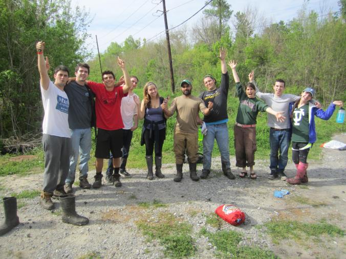
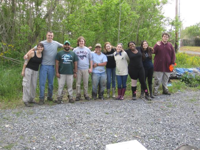
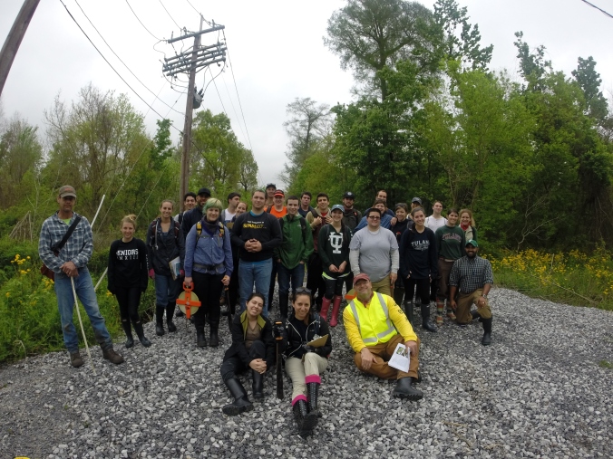
This past weekend, March 22nd and 23rd, my Tulane University environmental studies students participated in an ongoing research project at the Delacroix forest of the Woodlands Conservancy. The Woodlands Conservancy is run by Katie Brasted, and you can learn more about her organization at the following links –
https://www.facebook.com/WoodlandsConservancy
http://www.woodlandsconservancy.org/
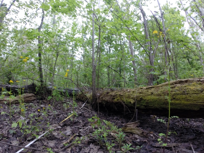
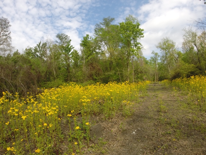
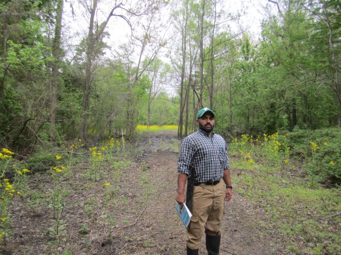
The Delacroix forest is the last stand of bottomland hardwood forest in southern Orleans parish and this forest acts as a wind break and absorbs storm surge during large storms and hurricanes. Once you go south from Delacroix, forests become a rarity and grassy marshes become more prevalent. Bottomland hardwood forests were once more common south of Orleans, but coastal land loss, subsidence, and erosion have quickly turned those forests into marshes and wetlands. This weekend, my students worked with California State University Channel Islands students and Oregon State University students to measure and document invasive and native plant species at Delacroix, the first such survey at this site, with the goal of reestablishing the native trees and restoring the forest to its climax condition with large healthy cypress, elm, oak, and swamp maple trees building a canopy with an extensive ferny understory. This research is coordinated by Dr. Sean Anderson of California State University Channel Islands and Dr. John Lambrinos of Oregon State University and they’ve been bringing students to this research site, among others, for several years now. To learn more about Sean, follow the links below –
Coastal Opinions (see p. 36): http://tinyurl.com/7hbph3a
Restoring NOLA twitter feed: @RestoringNOLA
Recent Louisiana Invasive Control Efforts: http://tinyurl.com/ae3sfky Deepwater Horizon Oil Spill:
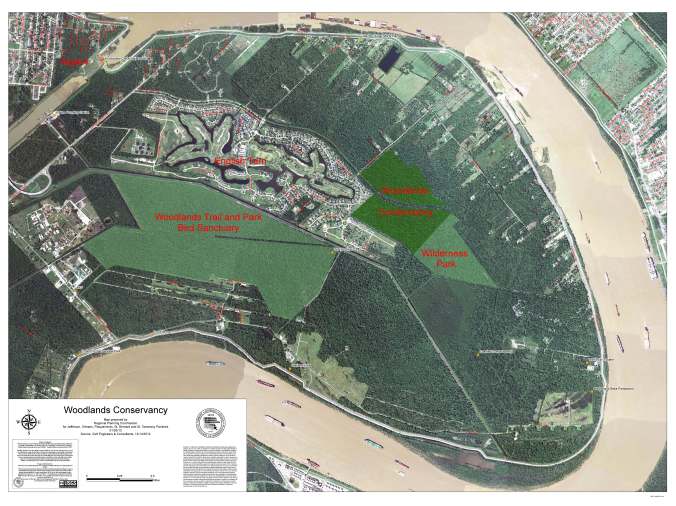
This image below shows the rough property outlines of the forest we surveyed – we walked about 2 kilometers down a trail through the middle of the property. Every 50 meters, we would walk a 100 meter transect into the woods and document all of the woody species at 2m intervals.
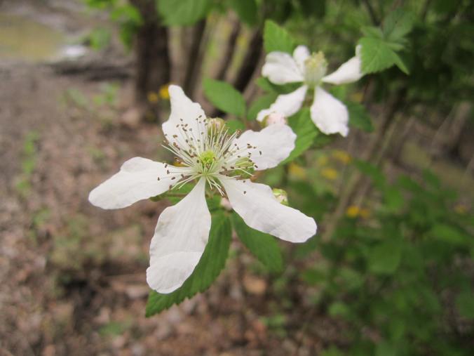
We were primarily interested in recording the canopy cover, the understory, tree diameter at breast height, tree height, and tree species. The invasives were primarily chinese tallow, chinaberry, and privet, and natives were mostly cypress, water oak, box elder, red/swamp maple, elderberry, and ash.
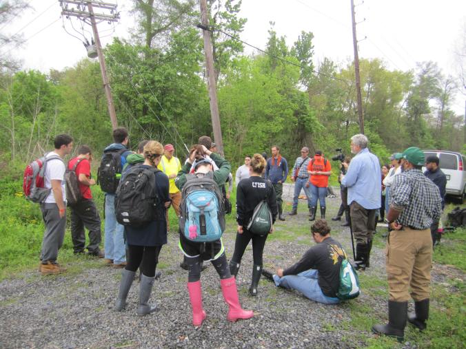
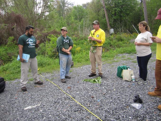
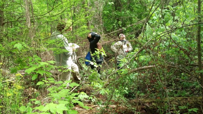
Sean gave my group an orientation both days and John gave excellent presentations using clippings of flora to teach us how to identify different types of trees.
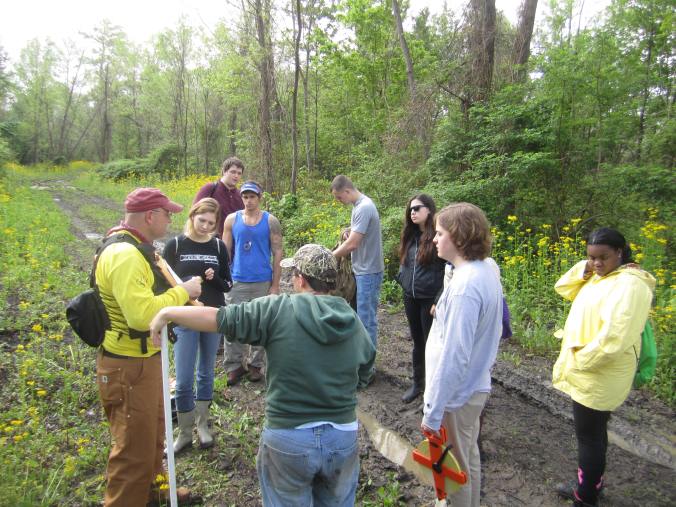
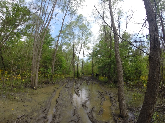
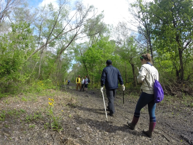
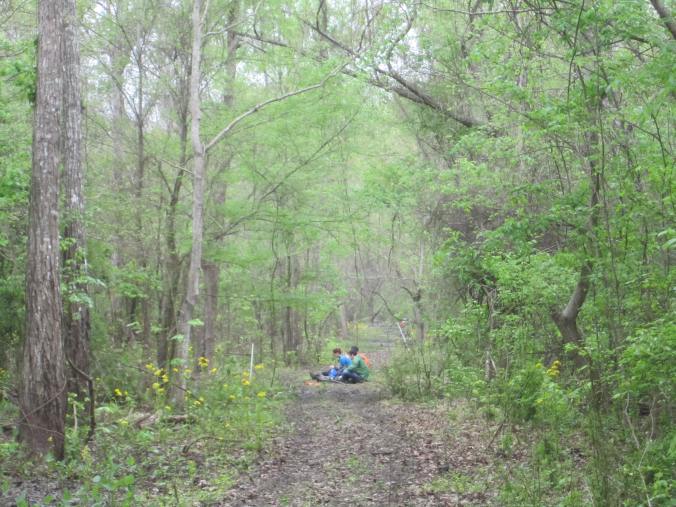
Once all of the students had an orientation, we split up the Tulane students into groups with the Cal State and Oregon students. I thought this was an instructive component of the project, since many of the non-Tulane students were older, more knowledgeable, and from more diverse walks of life. They were then assigned a transect to go survey, which necessitated walking down a very long and muddy trail.
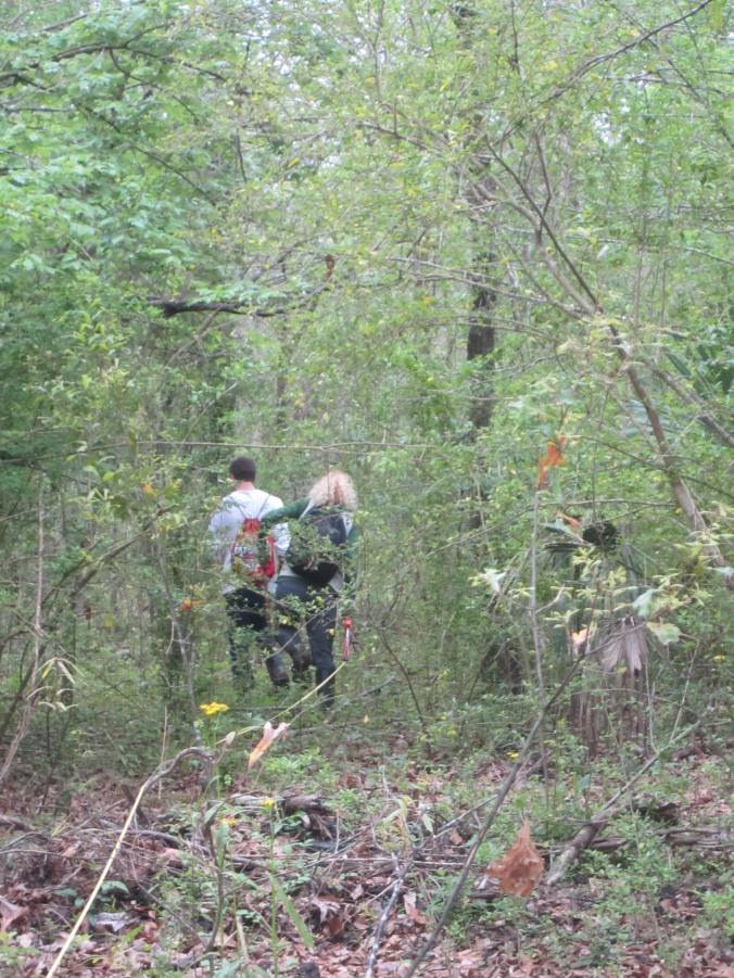
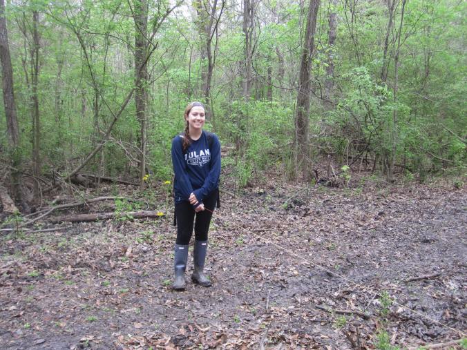
I am not exaggerating here, just walking to our transect locations was incredibly tough – we all wore boots and many of us wore rain boots. The mud wanted to just suck our boots right off! Once the students got to their transect locations, they then walked into the woods and documented at specific intervals the plant life, emphasizing the woody species, canopy cover, and ground cover.
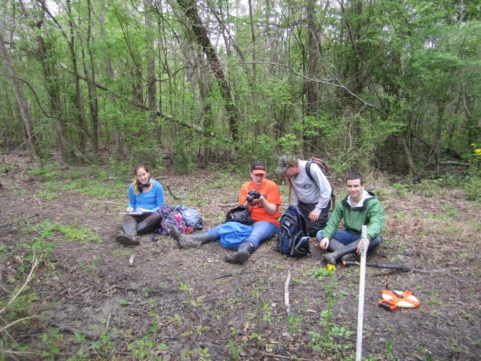
And of course, doing this kind of work was incredibly tiring, so there were often breaks and times when students just took the opportunity to enjoy themselves and to talk with one another.
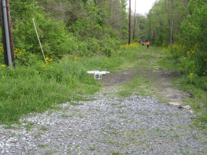
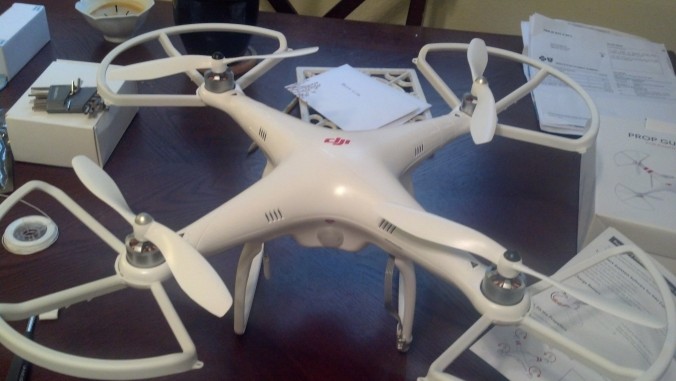
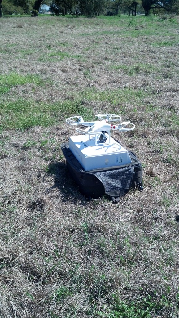
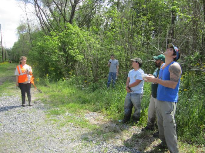
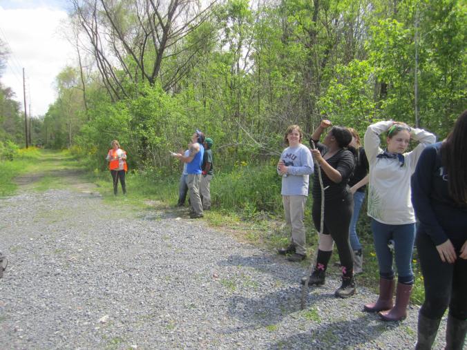
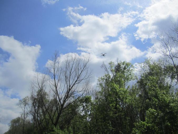
In addition to conducting survey on the ground, my team also conducted some aerial surveys of the Delacroix property using a remotely guided drone. I can’t post images of the flight for privacy reasons, but I can show my class flying the drone. Once I’m done processing the imagery, I’ll post some non-specific images online.
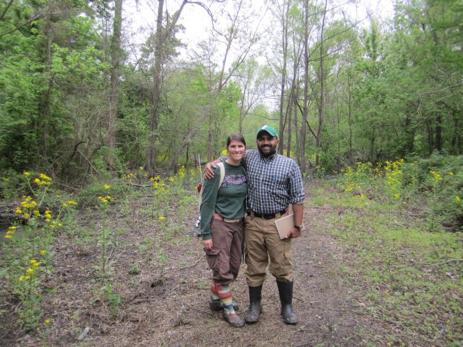
The best news is that we documented the whole forest and accomplished in two days what we thought was going to take a week, so good news across the board! We all got a few bumps, scrapes and bruises, and too many mosquito bites to count, but with the data collected by Tulane, Cal State Channel Islands, and Oregon State, Sean Anderson and his research team will be able to help the non-profit, Woodlands Conservancy, preserve and manage this fragile and endangered forest. I’m very proud of my students’ work and their efforts in these challenging conditions. Many thanks to Katie Brasted of the Woodlands Conservancy, Sean Anderson of Cal State Channel Islands, John Lambrosino of Oregon State, and Tom Huggins of UC Berkeley for making this service weekend a success and for involving my class in their research. Also, I want to acknowledge the Center for Public Service at Tulane, CELT at Tulane, and the Provost’s Office at Tulane for supporting our service work! And of course, I want to thank my darling wife, Haley Mehta, for helping both days!
Good times were had by all and I look forward to doing this again!
